|
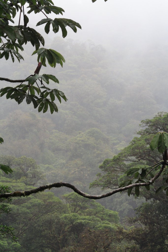 |
| Forest in the clouds | |
| Latitude: N 10°20'19,52" | Longitude: W 84°47'48,49" | Altitude: 1669 metres | Location: Santa Elena Cloud Forest | State/Province: Guanacaste | Country: Costa Rica | Copyright: Ron Harkink | See map | |
| Total images: 19 | Help | |
|
|
|
| Forest in the clouds | |
| Latitude: N 10°20'19,52" | Longitude: W 84°47'48,49" | Altitude: 1669 metres | Location: Santa Elena Cloud Forest | State/Province: Guanacaste | Country: Costa Rica | Copyright: Ron Harkink | See map | |
| Total images: 19 | Help | |